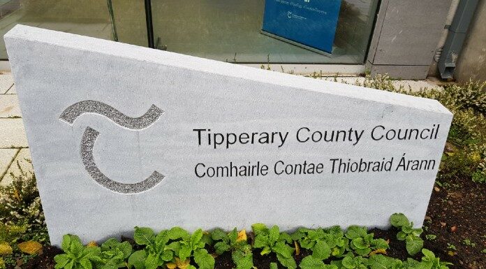
Draft maps for the Residential Zoned Land Tax in Tipperary have gone on display.
The public have until January 1st next to make submissions to Tipperary County Council.
The RZLT is an annual tax calculated at 3% of the market value of land within its scope which will apply from 2024 onwards.
The objective is to activate land that is serviced and zoned for residential use in order to increase housing supply and ensure regeneration of vacant and idle lands in urban areas.
A ‘draft map’ published by Tipperary County Council comprises maps for 20 urban settlements across the five districts.
Clonmel Borough District: Clonmel, Ballyclerihan and Kilsheelan
Nenagh Municipal District: Nenagh, Borrisokane and Portroe
Carrick on Suir Municipal District: Carrick, Killenaule and Mullinahone
Tipperary-Cahir-Cashel Municipal District: Tipp Town, Cahir, Cashel, Ardfinnan and Clogheen
Thurles Municipal District: Thurles, Templemore, Roscrea Borrisoleigh, Two-Mile-Borris and Holycross
Due to capacity constraints in the respective wastewater treatment plants, no sites in the towns of Newport, Ballina, Cloughjordan or Fethard are identified as being ‘in-scope’ for the tax. These towns will be revisited once upgrades to the treatment plants have been completed.
Landowners whose land is included on a draft map should now review the map and consider if their land meets the criteria for inclusion and make submissions to Tipperary County Council accordingly.
During the course of 2023, supplemental and a final map will be prepared by Tipperary County Council identifying the land within scope; the final map will be revised annually from 2025 onwards.
The Draft Maps can be viewed here: https://www.tipperarycoco.ie/rzlt


